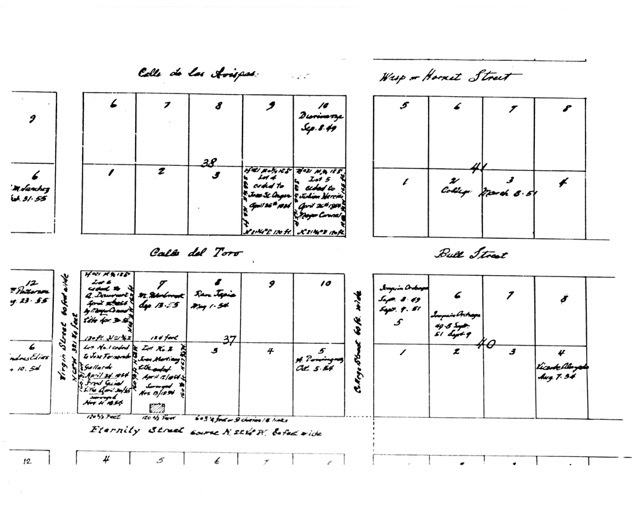
Hand-drawn map of Castelar School area
Item
- Title
- Hand-drawn map of Castelar School area
- Description
- Property map around the location of Castelar School in the Sonoratown neighborhood of Los Angeles, which would later become New Chinatown.
- Identifier
- 2024M1CES_B01_F03_008.jpeg
- Date
- 18XX~
- Spatial Coverage
- Chinatown (Los Angeles, Calif.)
- Format
- image/jpeg
- Extent
- 8.5" x 11"
- Language
- Spanish
- Type
- Image
- Medium
- cadastral map
- Item sets
- Castelar Elementary School Collection

