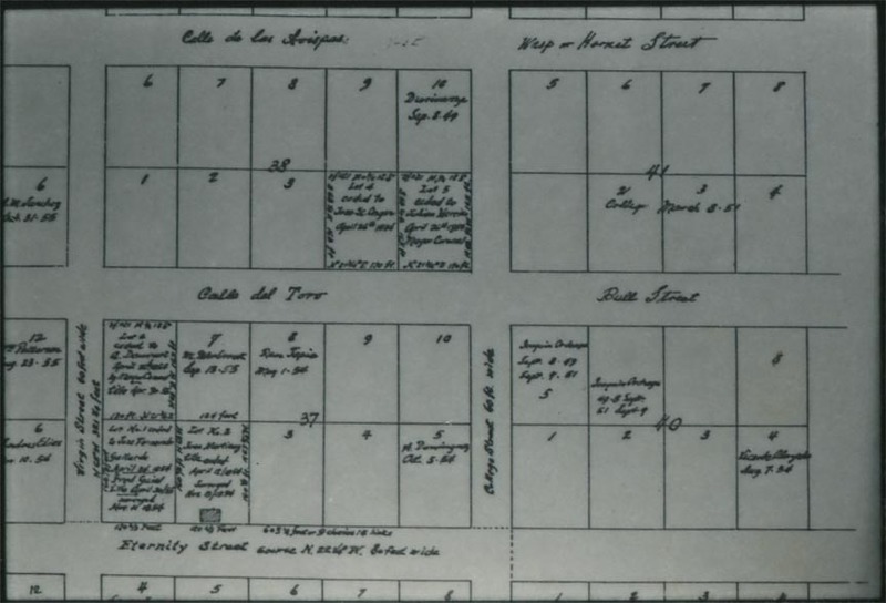
1854 map of Sonoratown
Item
- Identifier
- CHSSC-82-02-31
- Title
- 1854 map of Sonoratown
- Description
- 1854 map of land divisions in Sonoratown, now New Chinatown, north of Virgin Street / Calle de las Virgines, now Alpine Street
- Extent
- 1x1.3
- Date
- 1854
- Subject
- Maps
- Source
- Castelar 100
- Publisher
- Chinese Historical Society of Southern California
- Format
- image/jpeg
- Type
- Image
- Medium
- Black-and-white photograph
- Rights
- Images are for personal research, scholarly and educational purposes. Contact the Chinese Historical Society of Southern California for information about the reproduction of images.
- Item sets
- Southern California Oral History Project

